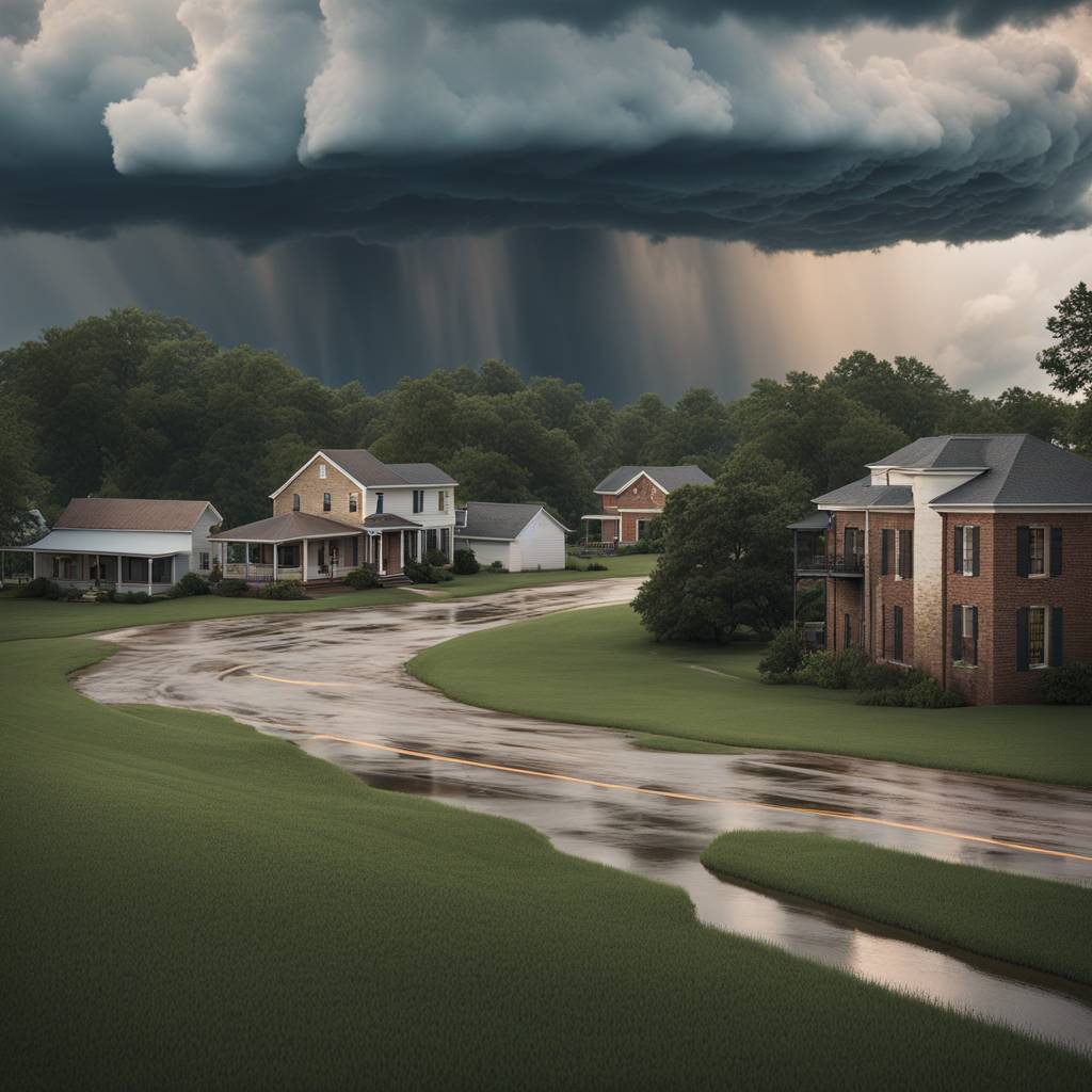
Following Monday’s solar eclipse, severe thunderstorms swept through Texas after totality, with reports of large hail up to 3 inches in diameter in North Texas, including the Dallas-Fort Worth metro area. The severe weather continued into Tuesday, with 22 million people under the risk for severe storms from Texas to Louisiana. The main concern was large hail, but strong tornadoes were also a possibility, particularly in eastern Texas and western Louisiana. The storms were ongoing as of Tuesday morning and were expected to last through the night, with cities like Austin, San Antonio, Houston, and Shreveport at risk.
Wednesday was forecasted to be the most volatile day of the week, with the potential for strong tornadoes and damaging winds exceeding 75 mph. Sixteen million people were under the risk area stretching from eastern Texas to the Florida Panhandle. The severe thunderstorms were expected to start in the morning and continue through the night, with a particular concern for nocturnal tornadoes, which are more dangerous than daytime tornadoes. Larger metro areas like New Orleans, Shreveport, Jackson, Birmingham, and Pensacola were advised to be on high alert for severe weather.
On Thursday, as the system moved east, the threat level decreased slightly, but there were still two areas of concern for damaging storms: one in the Southeast and the other in the Ohio Valley. Twenty-six million people across Ohio, Kentucky, West Virginia, the Carolinas, Georgia, and northern Florida were at risk for damaging winds and isolated tornadoes. Cities like Jacksonville, Tallahassee, Charleston, Cincinnati, Columbus, and Pittsburgh were urged to be prepared for severe weather. Flash flooding was also a concern in many of these areas, with watches in place for 8 million people from eastern Texas to central Alabama.
The potential for significant flash flooding was high, with a ribbon of 5 to 7 inches of rain expected over the next 48 hours, with localized amounts of 8 inches or more. The greatest risk for flash flooding was forecasted for northern Louisiana, southern Arkansas, and western Mississippi through Tuesday night. The severe weather was expected to continue moving east, potentially impacting additional areas in the Southeast and Ohio Valley with damaging storms and the risk of flash flooding. The severe weather pattern was expected to persist throughout the week, with residents in the affected areas advised to stay informed and take necessary precautions.


