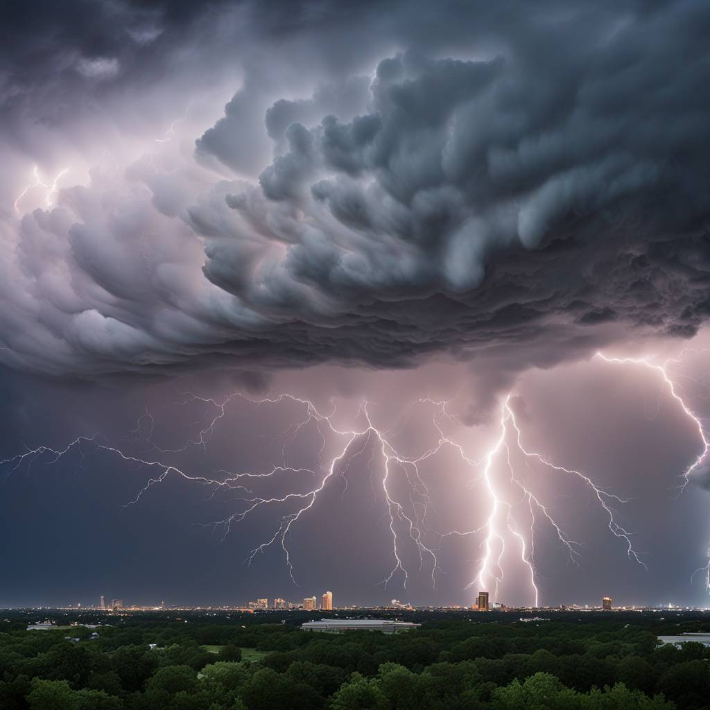
New severe thunderstorms are expected to move into Central and North Texas shortly after the peak of totality of the solar eclipse on Monday, bringing with them the threat of large hail and possible tornadoes. The storms are being pushed northward by a boundary of unstable air and will approach the I-20 corridor as early as 3-4 p.m. The western edge of the storm activity is less certain, but the highest confidence is that storms will be located near and east of I-35 through most of the evening. However, there is a threat of severe storms across the entirety of North and Central Texas.
Severe thunderstorm chances will return on Monday after the eclipse, potentially leaving only a short window of 1-2 hours between the eclipse and strong to severe storms in some areas. The turn in weather will likely interfere with post-eclipse clean up and travel plans, as many Texas towns in the path of totality have been preparing to host tourists coming to witness the celestial event. Millions of people are expected to travel to Texas to experience the once-in-a-lifetime phenomenon, and attention must quickly turn to the threat of severe weather beginning shortly after the eclipse. Large hail and some tornadoes are possible as the storms move through the region.
The National Weather Service report outlines the potential for scattered strong to severe thunderstorms developing in the mid to late afternoon on Monday, starting around 3-4 p.m. This will only allow a brief window of time to wrap up any eclipse activities before the storms move in. The storms are expected to increase in coverage across the entire region as the evening progresses, with all hazards possible. The coverage of storms is expected to continue into Tuesday and Wednesday, with scattered to numerous thunderstorms developing. There is a threat of severe weather of all hazards across North and Central Texas, as well as an increasing flooding threat especially east of I-35.
Despite the severe weather threats, most of the rain is expected to exit the region by Thursday as the storm system moves on. The threat of severe weather will continue on Tuesday and Wednesday, with scattered to numerous thunderstorms expected to develop. The flooding threat will also increase during this time, particularly east of I-35. Residents and visitors in the affected areas should stay informed of weather updates and be prepared to take necessary precautions in case of severe weather. Plan accordingly for travel and outdoor activities, and stay safe during this period of active weather.


