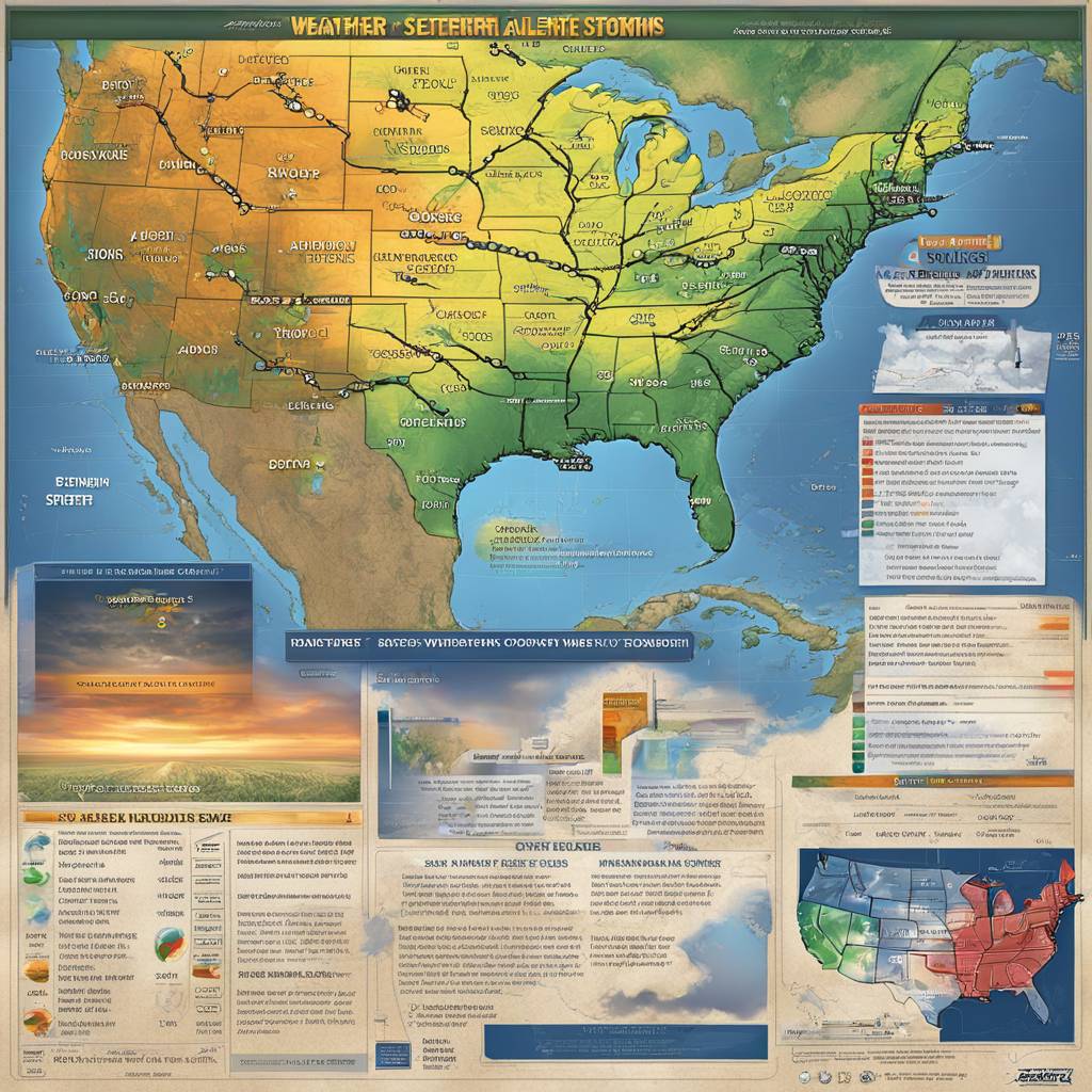
The National Weather Service (NWS) issued a flood watch for seven states as severe storms moved through the U.S., bringing a severe weather risk to several states throughout the Southern Plains and into the Ohio Valley on Monday and Tuesday. The affected states include Illinois, Indiana, Ohio, Kentucky, West Virginia, and small areas of Pennsylvania and Virginia. The Storm Prediction Center warned of large to very-large hail, tornadoes, and damaging winds, urging residents to stay weather aware. The areas at the highest risk for severe thunderstorms extend from north Texas through Oklahoma, part of Kansas, northwestern Arkansas, central and southern Missouri, and southern Illinois and Indiana.
The NWS Storm Prediction Center’s message highlighted the possibility of severe weather, including very large hail, tornadoes, and damaging thunderstorm winds. The potential for tornadoes may continue into the overnight hours. The flood watch warned that multiple rounds of showers and thunderstorms could produce heavy rain, with estimates reaching up to 2 to 3 inches across the watch area and locally higher amounts up to 4 inches. Excessive rainfall could contribute to flash flooding, leading to flooding of rivers, creeks, streams, and other low-lying areas. The NWS office in Pittsburgh also noted that excessive runoff may result in flooding in poor drainage and urban areas.
NWS meteorologist David Shallenberger explained that Pittsburgh could exceed its monthly average rainfall over the next two days, with the excessive rain being common for this time of year. In addition to rain, there is a threat of tornadoes, hail, and wind, with Ohio expected to experience these conditions on Tuesday in the afternoon and evening. The heaviest rain is predicted to fall in Ohio from Monday night through Tuesday, possibly exceeding 4 inches. Despite this forecast, Shallenberger noted that Pittsburgh’s rainfall was average in March.
The severe storms and flooding prompted the NWS to issue a flood watch for part of Pennsylvania as the severe weather system moved through the U.S. on Monday. Kayakers were spotted paddling down a portion of Interstate 676 in Philadelphia after the flooding from heavy rains caused by Hurricane Ida in September 2021. The flood watch for Pennsylvania was part of the larger system affecting several states, with the NWS warning of the potential for large hail, tornadoes, and damaging winds. The forecast included multiple rounds of heavy rain, which could lead to excessive runoff and potential flash flooding in low-lying and flood-prone areas.
Overall, the severe weather system moving through the U.S. poses significant risks for severe thunderstorms, large hail, tornadoes, damaging winds, and heavy rainfall in several states across the Southern Plains and Ohio Valley. Residents are advised to stay weather aware and take necessary precautions to protect themselves and their property from potential flooding and severe weather conditions. Meteorologists are monitoring the situation closely and providing updates to the public to ensure safety during this period of heightened weather activity.


