The Bureau of Meteorology issued a severe weather warning for heavy rain in various regions of New South Wales over the weekend. An upper trough was bringing rain and thunderstorms to the area, with persistent coastal showers expected to dampen large parts of the east coast. Meteorologist Christie Johnson stated that six-hourly rainfalls of 50-70 millimetres were likely, with possible downpours of 100-120 millimetres. The heavily impacted areas were Nowra, Batemans Bay, Moruya Heads, Ulladulla, Narooma, and Araluen. The bureau warned of potential flash flooding due to the already wet grounds and urged residents to take precautions.
The heavy rainfall was expected to cause minor flooding, with some areas facing moderate flooding in parts of the Hawkesbury Nepean Valley, St Georges Basin, Bega, and Moruya catchments from late Saturday onwards. Residents living or working along rivers and streams were advised to monitor weather forecasts and warnings and be prepared to move to higher ground in case of flooding. The downpours were forecasted to ease by Sunday evening as the high-pressure system near Tasmania continued to drive showers onto the NSW coast, leading to moderate to heavy bursts of rain and dangerous surf conditions on Saturday.
The frequent showers and thunderstorms were predicted to persist over the next few days, particularly affecting the South Coast, Illawarra, Southern Tablelands, and Snowy Mountains regions. The bureau highlighted the potential for flash flooding in the northern parts of the South Coast, southern parts of the Illawarra, eastern parts of the Southern Tablelands, and far northeastern parts of the Snowy Mountains districts, urging caution in these areas. The weather system was expected to gradually ease as a high-pressure system was forecasted to drift across southeast Australia mid-week, bringing a return to somewhat more settled weather.
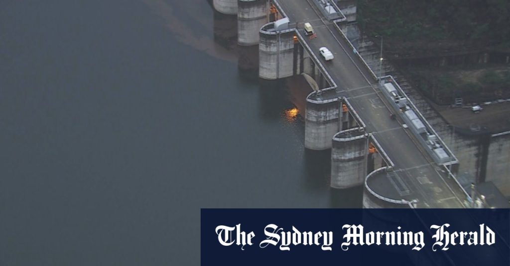
The Warragamba Dam was reported to be at a high capacity on Saturday afternoon, signifying the significant amount of rainfall the region had already received. Rainfall was predicted to lead to flooding in areas such as the South Coast, Illawarra, Southern Tablelands, and Snowy Mountains regions. The bureau advised that the rain could cause minor flooding in some areas, with potential for moderate flooding in others. People living or working near rivers and streams were warned to stay informed about weather updates and to prepare to move to higher ground if necessary.
The severe weather warning issued by the Bureau of Meteorology highlighted the potential for heavy rain and flash flooding in various parts of New South Wales over the weekend due to an upper trough bringing rain and thunderstorms to the region. Meteorologist Christie Johnson warned of significant rainfall on already wet grounds, leading to a risk of flash flooding. Residents in heavily impacted areas such as Nowra, Batemans Bay, Moruya Heads, Ulladulla, Narooma, and Araluen were advised to be cautious and take necessary safety measures. Despite the challenging weather conditions, the forecast indicated that the rain would gradually ease by Sunday evening as a high-pressure system near Tasmania continued to drive showers onto the coast.


