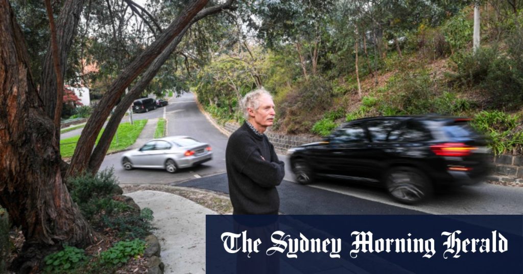
Mackinnon, a member of the Yarra Boulevard Action Group, expressed concerns about the dangerous driving habits on narrow streets, with cars often sideswiping each other and leaving tire marks on footpaths. He suggested implementing measures to reduce traffic levels, such as blocking right turns onto the boulevard during peak hours and lowering the speed limit to 40km/h on suburban streets. The City of Yarra recently introduced new 30km/h speed limit signs in an effort to address these safety concerns.
Daniel Freer, director of places and spaces at Boroondara Council in Kew, explained that various measures had been taken to reduce traffic levels in the area, including road humps, a roundabout, and blocked turning. However, he noted that Google Maps did not always pick up on new road restrictions, potentially leading to increased traffic through residential areas. RMIT urban planner Liam Davies emphasized the need for local and state authorities to deter rat-running by funding measures such as signage directing drivers to main roads, introducing road closures, and narrowing streets to slow down speeding vehicles.
Merri-bek Council Mayor Adam Pulford expressed concerns about navigation apps directing drivers to use residential streets as shortcuts, making neighborhoods more dangerous. He suggested that map apps should refuse to direct cars to rat-run down local roads, and physical changes may be necessary to create safer streets. The City of Yarra recently announced a 30km/h speed limit on almost all streets in Fitzroy and Collingwood after a successful trial showed a significant drop in crashes, and Pulford urged the state government to remove barriers to implementing 30km/h limits in other areas.
Streets Alive Darebin member Dr. Molly Hoak shared her experience of motorists speeding down her street in Thornbury to avoid main roads, creating safety concerns for residents, especially children and elderly individuals. Darebin Council has implemented measures to prevent rat-running, such as a permanent pop-up park along James Street in Preston and reducing speed limits to 40km/h. The council also requested updates to Google Maps to reflect road closures and one-way routes, which were ultimately made by the company.
Councils often need to spend significant amounts of money to address traffic concerns and prevent rat-running. Moonee Valley Council spent about $50,000 on works to Kent Street, Ascot Vale, in 2021 to address traffic issues. Google Maps and Waze, two popular navigation apps, are owned by Google, and a company spokeswoman stated that routes are based on street designations from official authorities. The Department of Transport and Planning is working on a major review of the city’s traffic signals on arterial roads to improve traffic flow and address congestion concerns.


