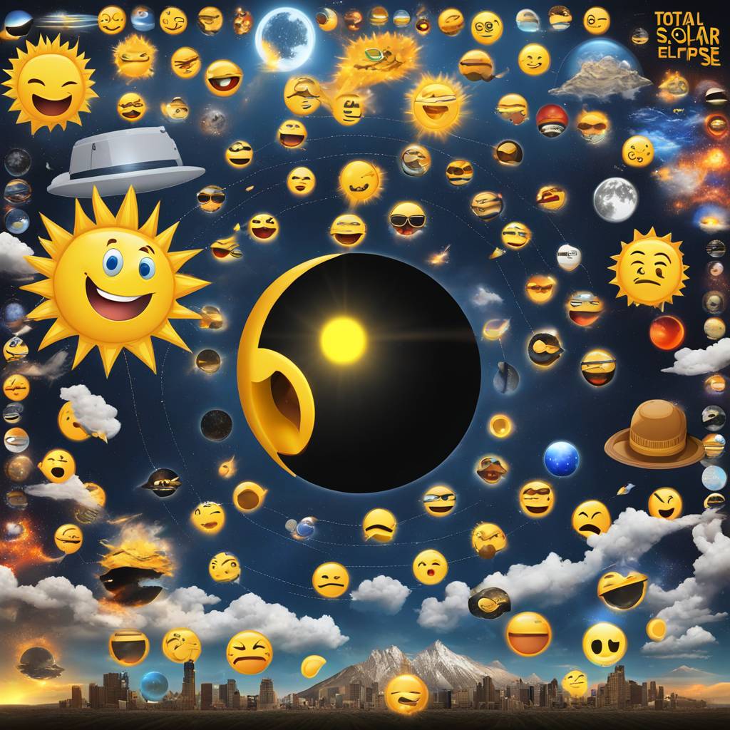
The total solar eclipse set to occur on April 8 has been explained in a fun and easy-to-understand way using emojis. The “Emoji Map” created by eclipse cartographer Michael Zeiler helps simplify the complex science behind the event. With many cities split by the edges of the path and a common misconception about partial eclipses, maps like this are essential as the eclipse will only be visible in parts of 15 U.S. states.
Zeiler explains that people love to use emojis to express their emotions, so the Emoji Map predicts what people inside and outside of the path of totality might experience during the eclipse. Total solar eclipses are complicated and often discussed as a national event, but they are actually very localized. The path of totality for the upcoming eclipse is just 115 miles wide and moving at 1,500 mph, making it a difficult concept to grasp.
Standing inside the path of totality allows for a truly breathtaking experience, witnessing both the partial phases of the eclipse and a few minutes of totality where the sun’s corona can be seen with the naked eye. Outside of this path, viewers will only see the partial phases, which are interesting but not as immersive or emotional as totality. The Emoji Map provides a quick and easy way to understand these concepts and emphasizes the importance of being within the path of totality to fully experience the eclipse.
For the latest updates on April 8’s total solar eclipse in North America, readers are encouraged to check the main feed for new articles each day. Clear skies and wide eyes are wished for all those planning to witness this rare celestial event. The combination of science and emojis in the “Emoji Map” adds a fun and accessible element to understanding the intricacies of the upcoming total solar eclipse.


