The report emphasizes the need for substantial and transformational adaptation planning for the town of Tooradin, in order to retain and enhance its natural values and assets and ensure the liveability, safety, and viability of the community in the face of rising sea levels. It warns that all of Casey’s coastal communities will need to adapt to increasing inundation and erosion over the long term, with smaller communities such as Warneet, Cannon Creek, and Blind Bight facing various levels of exposure to these risks. The report proposes over 20 possible coastal hazard adaptation actions, including relocating infrastructure, changing planning controls, and implementing engineering responses like building seawalls and upgrading roads and drainage systems.
The report suggests there is still time to act to protect the community against rising seas, with the most severe risks projected to occur between 2040 and 2070, when sea levels are expected to rise between 20 and 50 centimeters. By 2100, a potential 80-centimeter sea level rise is projected. The region’s agricultural productivity is also expected to decline as soils and waterways become saltier, impacting yields on agricultural land. The area is home to native mangroves, seagrass beds, and salt marshes that provide habitat for endangered species, and efforts to protect these natural assets will be crucial in adapting to climate change and rising seas.
Coastal geographers have observed mangroves moving landward in response to sea level rise in Western Port Bay. The rising sea level presents two potential futures for Tooradin: either moving the town to higher ground through managed retreat, or building up the town behind levees to protect it from inundation and erosion. However, building concrete walls to protect the town would come at a cost to the natural environment, leading to the loss of biodiversity and breeding grounds for fish. Residents in low-lying areas like Tooradin have already seen changes in council requirements for new builds, with structures now required to be built on raised ground to mitigate flood risks.
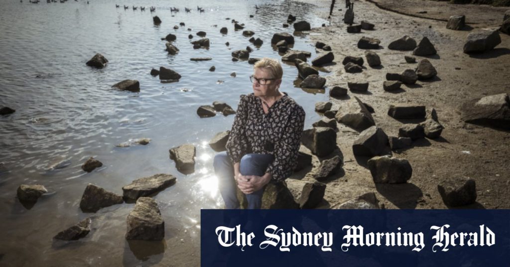
Tooradin resident Di Loft, co-owner of the town’s newsagency, has seen firsthand the impact of rising sea levels and changing council regulations on construction. She notes that new builds now require raised foundations, with one neighbor recently having to rebuild a shed on concrete footings more than a meter above the ground after a fire. The study conducted by environmental consultants Alluvium and economic consultants NC Economics found that without adaptation measures, average annual damages from inundation in Casey’s coastal communities are projected to rise significantly by 2040 and 2100, reaching as high as $300 million annually.
The Local Government Act requires councils to inform communities of climate change risks and ensure decisions are made with these risks in mind. Casey’s chair of administrators, Noelene Duff, stated that the council’s draft coastal framework aims to enhance the resilience of coastal areas in response to changing climatic conditions. The framework provides strategic directions for coastal planning, recommendations for adaptation pathways, and informs decision-making on how to respond to increasing coastal hazard risks. By prioritizing adaptation and planning measures now, Tooradin and other coastal communities can safeguard their natural assets, infrastructure, and livelihoods from the impacts of rising sea levels and climate change.


