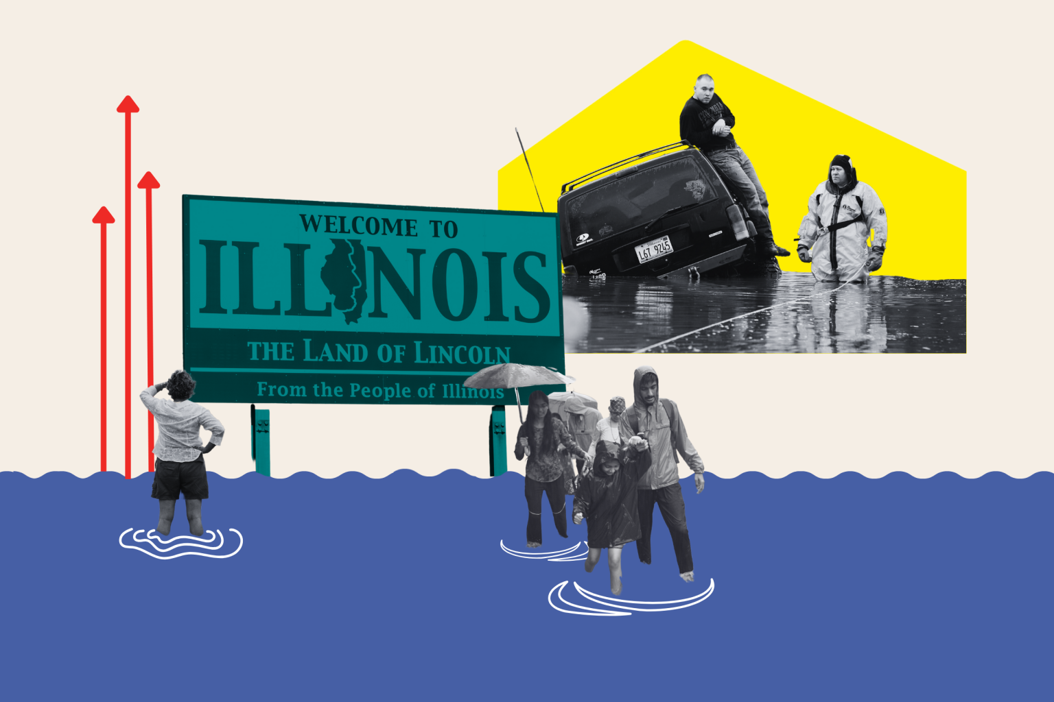
Researchers have identified the serious threat that rising water levels in the Great Lakes could pose to millions of people living in regions surrounding Lake Michigan. The American Geophysical Union reported that the lake levels of Superior, Michigan-Huron, and Erie are expected to increase by up to 1.6 feet by 2050 due to climate change. These rising water levels can have significant implications, including coastal erosion, changes in navigation, and increased risk of flooding. Studies by Michigan Technological University also suggest that the fluctuations in water levels in the Great Lakes could be even more extreme than previously thought.
To help the public understand the potential impacts of rising lake water levels, the National Oceanic and Atmospheric Administration (NOAA) has developed an interactive map that shows how different levels of rising water would affect the shorelines around Lake Michigan. The map allows users to visualize the extent of flooding that could occur in areas bordering the lake. South Chicago and the East Side, among other neighborhoods, would be heavily affected by higher water levels, with significant portions of these areas being submerged underwater. Lawrence Elementary School and other important landmarks would also face the risk of being lost to the lake.
While the focus of this research has primarily been on the Great Lakes, rising sea levels due to climate change are also a major concern. NOAA’s mapping tools provide insights into the potential impacts of ongoing sea level rise and flooding scenarios, ranging from full-moon tides to hurricane storm surges. The United Nations’ Intergovernmental Panel on Climate Change warns that without significant efforts to reduce greenhouse gas emissions, there could be a steep sea-level rise of up to almost 6.6 feet by 2100. This level of rise would have devastating consequences for coastal communities in the United States, with states like Georgia, California, and New York facing significant inundation.
The interactive map created by NOAA serves as a powerful tool for visualizing the potential impact of rising water levels on coastal areas around Lake Michigan. By allowing users to see how different levels of water rise could affect specific regions, the map helps to raise awareness about the urgent need to address climate change and its consequences. The research conducted by scientists and experts provides valuable insights into the potential challenges that communities along the Great Lakes and other bodies of water may face in the coming decades. It is essential for policymakers, urban planners, and residents to take proactive measures to adapt to these changing conditions and protect vulnerable areas from the impacts of climate change.


