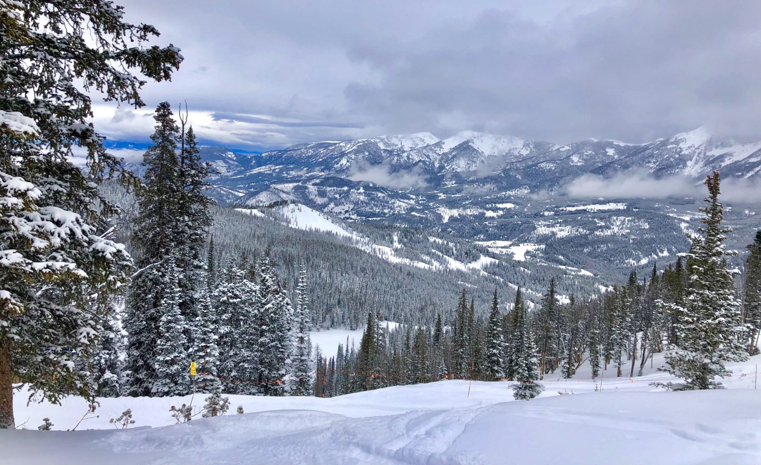
A cold front in Baker, Montana brought a winter storm and a sudden drop in temperatures by nearly 40 degrees in just over 24 hours. The city had broken a record daily high of 95 degrees the day before the cold front hit, with temperatures dropping to 57 degrees. The National Weather Service reported that Baker’s high of 95 degrees broke the previous record set in 2000, as well as other records in the region. The cold front brought heavy precipitation, with the storm producing up to 8 inches of snow in higher elevations and widespread rainfall throughout the region.
The storm caused abnormally high precipitation for this time of year, with Baker only seeing 0.2 inches of rainfall. Other areas in the Billings forecast region, such as Park and Yellowstone counties, received more than 3 inches of rain. The winter storm warning for the area indicated heavy snow and gusty winds, impacting recreation in higher elevations. The warning was expected to remain in place until 6 p.m. Wednesday night, with additional weather advisories such as high-wind warnings and flood watches in effect.
According to NWS meteorologist Logan Torgerson, the normal high for Baker during this time of year is 73 degrees. Temperatures were expected to return to normal quickly, with temperatures around 70 degrees on Thursday and back to above-normal temperatures in the high 70s to near 80 on Friday. A six-to-ten day temperature outlook showed a chance for above-average temperatures and below-average precipitation for Montana from September 23 to September 27. Despite the sudden drop in temperatures brought by the cold front, the forecast indicated a quick return to warmer weather for the region.
The cold front that hit Baker, Montana brought stormy conditions and a significant drop in temperatures after the city had experienced record-breaking heat the day before. The sudden temperature drop of nearly 40 degrees in just over a day was attributed to the low-pressure system delivering heavy precipitation and bringing snow to higher elevations. The storm caused several weather advisories to be issued for the region, including a winter storm warning, high-wind warning, and flood watch, with impacts on recreational activities in the high country.
The National Weather Service reported that daily records were broken in Baker and Livingston due to the cold front, with Baker’s high of 95 degrees breaking the previous record set in 2000. The storm brought abnormally high precipitation for the time of year, with Baker receiving minimal rainfall compared to other areas in the region. Despite the wintry conditions brought by the storm, temperatures were expected to return to normal quickly, with above-average temperatures forecasted for Montana in the coming week. The winter storm warning was set to remain in place until Wednesday night, with additional weather advisories in effect for the region.


