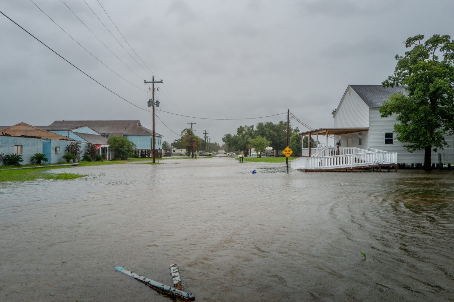
Hurricane Francine made landfall in Louisiana as a Category 2 storm, causing widespread flooding, power outages, and damaging winds. The storm hit southern Louisiana near Terrebonne Parish with wind speeds reaching 96 mph. Hurricane-force winds reached New Orleans by 11 p.m., leading to instances of flash flooding. The National Hurricane Center warned of life-threatening storm surge along the Louisiana and Mississippi coastlines and urged residents to stay in a safe location until conditions improved. Videos circulated online showing floodwaters pouring into city streets and structures being damaged by the strong winds.
Videos of meteorologists struggling in the storm were shared on social media, including one of Jim Cantore from The Weather Channel in Morgan City, Louisiana. Another video by Reed Timmer showed rushing water engulfing the roadway in New Orleans. Meteorologist David Bernard described the flooding in New Orleans as one of the most significant in years, with emergency officials in Morgan City reporting rapid flooding and damage to power lines and trees. The fire chief noted that the situation was more severe than expected, leading to the precautionary withdrawal of emergency response vehicles.
WeatherNation correspondent Erik Fox shared a video of search and rescue efforts in Houma, Louisiana, after a structure collapsed due to the hurricane. In New Orleans, a good Samaritan rescued a driver trapped in a pickup truck by rising water levels near a canal underpass. The driver was able to crawl out of the back window with the help of the bystander, who was praised for potentially saving the person’s life. Hurricane Francine is the sixth named storm of the 2024 season, which was predicted to be above-normal with 17 to 25 total named storms by the National Oceanic and Atmospheric Administration. The storm is expected to continue northward into central Mississippi and eventually reach Arkansas, Missouri, and Tennessee by Friday evening. Rainfall is forecasted to be between 4 to 6 inches in some areas, with a moderate chance of flash flooding through Thursday morning.
The National Hurricane Center highlighted the risk of flash flooding in New Orleans, south-central Louisiana, and Mississippi up through Jackson. Forecasters warned residents to stay informed and prepared for possible evacuations in flood-prone areas. The storm is projected to impact a wide area across multiple states, requiring ongoing monitoring to ensure public safety. Newsweek reached out to the Louisiana Governor’s Office of Homeland Security and Emergency Preparedness for additional information, reflecting the need for coordinated response efforts in the aftermath of Hurricane Francine. The storm serves as a reminder of the destructive potential of hurricanes and the importance of community resilience in the face of natural disasters.


