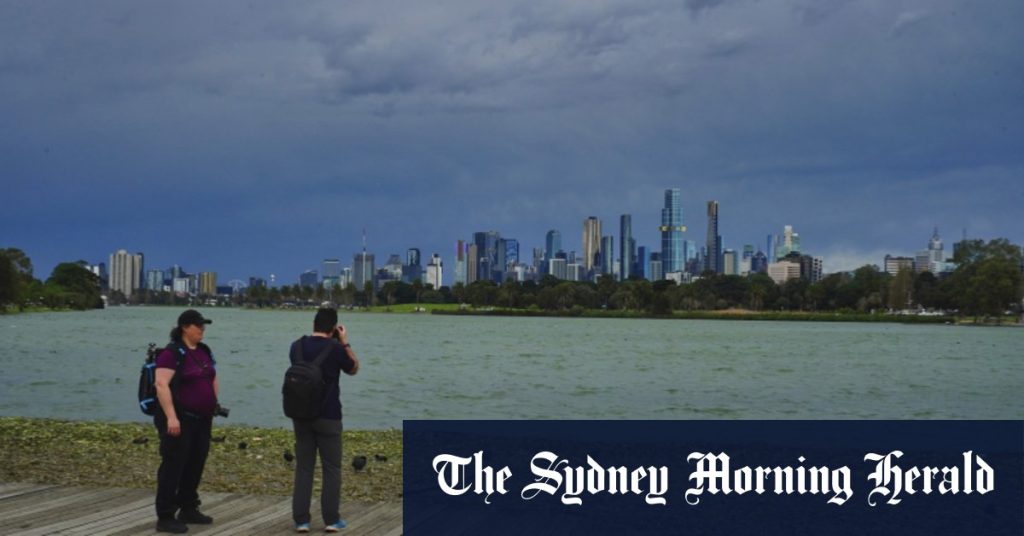
Emergency services in Victoria have warned residents to charge their mobile phones before bed and to have torches, candles, or other non-electric lighting ready in case their power goes out overnight. The Department of Education announced that any school closures would only be determined on Monday morning and updates would be available on the department’s closures website by 8.30am AEST. The State Emergency Service (SES) received 307 calls in a 24-hour period, with the greater Geelong region being the busiest area. Meteorologist Joanna Hewes stated that strong winds associated with a cold front moving across Victoria were expected to reach Melbourne in the early hours of Monday morning.
The cold front was forecast to arrive in Melbourne between 2am and 4am, bringing a line of showers and thunderstorms with it. As a result, areas around Port Phillip Bay, Western Port, and Gippsland Lakes were warned to prepare for high tides that could lead to inundation in low-lying areas. Mount William, the tallest peak in the Grampians, recorded wind gusts of 102km/h overnight on Sunday. The severe weather warnings prompted the VICSES to be prepared for an increase in callouts for help, with volunteers encouraged to ensure their vehicles were parked safely, clean gutters if safe to do so, avoid high-risk areas, and stay informed with the latest warnings through the bureau’s website and the VicEmergency app.
The wild weather in Victoria comes after a man drowned in rough seas off Rye pier on Saturday afternoon, highlighting the dangers posed by the severe conditions. The interaction of warm air over continental Australia and cold air from the Southern Ocean is causing the gusty winds in the region, according to meteorologist Hewes. Melbourne is expected to reach a top temperature of 14 degrees on Monday, with rain on the way, before drying up on Tuesday with a top of 17 degrees. Wednesday is anticipated to be mostly sunny with a peak temperature of 20 degrees. The SES received 201 calls for downed trees and 82 for building damage, indicating the impact of the strong winds on the region.
The front is expected to reach far western Victoria late on Sunday night, with strong winds potentially occurring ahead of the front from Sunday afternoon. Residents were advised to prepare by moving vehicles undercover, tying down loose items such as outdoor furniture, and avoiding travel during the peak of the winds, particularly in heavily treed areas. Showers and thunderstorms were expected to follow the cold front, gradually easing throughout Monday. The latest episode of wild weather in Victoria has led to a rise in callouts for help, with volunteers being ready to assist their communities. The above-average temperatures in inland Australia are contributing to the gusty conditions experienced in the region.
In conclusion, the severe weather warnings in Victoria have prompted residents to prepare for potential power outages and high winds associated with a cold front moving across the state. The SES received numerous calls for assistance, with schools monitoring closures and updates being provided on the department’s website. Meteorologists have advised residents to take necessary precautions to secure their property and avoid high-risk areas during the severe weather conditions. While the region is expected to experience showers and thunderstorms, conditions are forecasted to improve later in the week with milder temperatures and sunny days ahead. Residents are encouraged to stay informed about the latest warnings and take necessary measures to ensure their safety during the wild weather.


